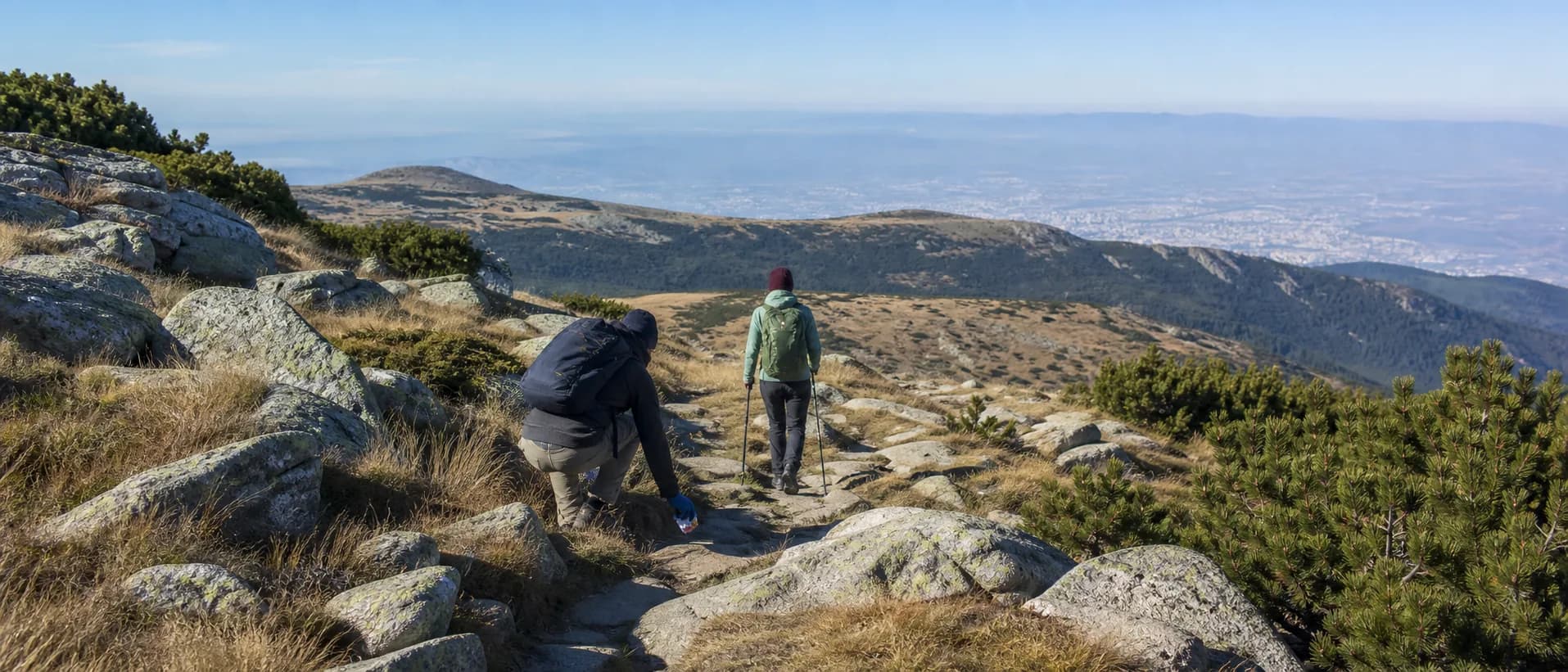
In Pirin in mid-August, turn around before a storm reaches the ridge, not after the first heavy rain. If the forecast is unsettled, clouds build quickly, thunder is audible, wind becomes unsafe or the route ahead is no longer clear, descend by the known marked path while you still have daylight and decision-making capacity. A summit is optional; getting below the exposed terrain is the objective.
Make the turnaround decision before the hike
Choose a route that has a real exit, not only a summit objective. Before starting, identify the last easy point to reverse, the first exposed ridge, the nearest lower trail or hut area and the section that becomes dangerous when wet. Download an offline map and carry a paper backup, but remember that a map cannot tell you whether a slope is currently safe to cross.
Check the NIMH forecast for the specific mountain area and the dangerous-phenomena information on the day of travel. Read the park's own safety guidance as well. The Directorate of Pirin National Park tells visitors to choose a route suited to their ability, be ready to change it when weather worsens, stay on marked paths and avoid ridges and prominent parts during thunderstorms.
Tell a trusted person where you will start, your planned route, the latest return time and what you will do if the route changes. Do not promise an exact summit time to a group if the margin depends on perfect weather. Build in time for a slow, wet descent, a wrong turn that you correct early and a delayed return to the trailhead.
Read the first signs, not just the lightning
Pirin storms can announce themselves before you see a flash. Watch for cumulus clouds growing vertically, a darkening cloud base, a sudden cool gust, wind shifting on a ridge, distant rain curtains, hail or a change in the sound of the landscape. If you hear thunder, the storm is close enough to change your plan even if the sky above you is still bright.
Do not wait for the route to become dramatic. Wet rock, slick grass, poor visibility and wind-blown rain can turn a familiar line into a navigation problem. If the cloud is closing the next marker, you have lost the route or the group is becoming tired, turn back toward the last known safe point. A phone weather app may be useful context, but it does not replace NIMH information, park instructions or what you can safely observe on the ground.
Descend while you have options
The safest turnaround is early and boring. Tell the group clearly that the plan has changed, check that everyone has a waterproof layer and headlamp, and reverse the route rather than improvising a shortcut. Keep the slowest person in the group supported and make sure nobody goes ahead alone to “check” the trail.
Move away from summits, narrow ridges, isolated boulders and other prominent ground. The Pirin guidance specifically warns against hiding under single trees or in rock niches during thunderstorms. Do not turn a small storm problem into a fall by scrambling across unstable wet slabs or cutting a switchback. If the marked route is no longer safely passable, stop in a less exposed position and call 112 with your location and the safest approach information you can provide.
If lightning is already overhead and you cannot reach lower ground immediately, separate group members rather than clustering together, keep away from metal equipment and avoid touching rock faces or water. Do not lie flat on open ground. Prioritise getting lower and less exposed as soon as it can be done without causing a slip or fall. The exact response depends on terrain; emergency operators and park staff can guide you.
Pack for a wet, late return
Carry a waterproof shell, warm layer, spare dry layer in a sealed bag, headlamp, charged phone, offline map, first-aid kit, food and water reserve. Trekking poles can help on a careful descent, but do not let equipment create a false sense of security. Keep the group's route and emergency contact written somewhere the rain cannot erase.
Do not assume a hut, lift, road or phone signal will be available when you need it. Check current access and services directly before relying on them, and never enter a closed or unsafe building as a storm shelter. If you are camping, do not pitch on a ridge, beside a watercourse or under a lone tree just to stay close to the objective; use only a legal, designated arrangement confirmed for the date.
Report useful conditions without overstating them
After the trip, record the date, route section, time, cloud and wind changes, visible damage, washed-out markings and the point where you turned around. Separate your observation from a claim that a route is open or closed. Send urgent hazards to the responsible authority rather than relying only on a public post.
In Garbamons' mapped sights directory, a dated conditions note can help another visitor understand where the exposure begins and what changed. Open Pirin places and trail approaches on the map
A good Pirin storm plan is a series of early exits. The strongest decision is often made while the trail is still dry, the group is still calm and the descent is still obvious.
Sources & further reading
- National weather forecasts, dangerous phenomena and mountain forecasts — National Institute of Meteorology and Hydrology
- Rules for safe tourism in Pirin National Park — Directorate of Pirin National Park
- What you need to know when visiting Bulgaria's national parks — Ministry of Environment and Water
Access, prices and opening times change. Verify locally before you travel.
Tags
- Pirin
- thunderstorms
- mountain safety
- turnaround decisions
Beyond this page
Links to reference material and organisations we don't control.
- OrganisationThe seven Leave No Trace principlesLeave No Trace
- ReferenceProtected areasWikipedia
- ReferencePirinWikipedia
- OfficialPirin National ParkPirin National Park