Rhodope water taps and springs — how to judge a refill responsibly
A practical guide to roadside fountains and mountain springs in the Rhodopes: source uncertainty, seasonal flow, contamination risks and useful field reports.
Recently verified — 1 August 2026
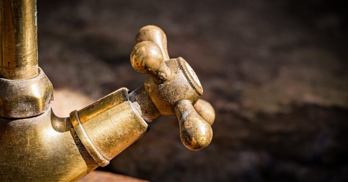
Stone fountains and roadside taps are part of the Rhodope landscape, but appearance is not a water-quality test. A clear, cold flow can still be affected by animals, damaged pipes, runoff or a source nobody currently monitors. Plan enough capacity that declining an uncertain tap is possible.
Identify what you are looking at
When the consequence of illness is high—children, pregnancy, vulnerable health, or a remote multi-day route—use a verified source or an appropriate treatment plan. Filtration, boiling and chemical treatment address different hazards; no lightweight method makes chemically contaminated water safe.
Conditions that should make you cautious
Avoid sources immediately after heavy runoff, where livestock can access the catchment, below settlements, near dumped waste, or when colour, smell, foam or oil is abnormal. A dry-season trickle can concentrate contamination and may stop entirely before your return.
Do not drink from decorative water features unless clearly identified as potable. Mineral springs can have naturally high dissolved content and their appropriate use is source-specific.
Make a helpful map report
On Garbamons' water-tap and spring entries, record the observation date, whether water flowed, access, sign wording, maintenance condition and any official test information with its source and date. Say “flowing on 1 August” rather than “year-round.”
Photograph the sign and wider setting without including people unnecessarily. Coordinates should point to the public fountain, not a sensitive private or ecological source.
Protect the refill point
Keep bottle mouths and hoses away from the outlet. Do not wash dishes, boots or pets in the basin used for collection. Step onto durable ground instead of turning the surroundings into mud. Take packaging and filters away.
If waste threatens the source, do not stir or remove suspicious material. Photograph the relationship between dump and water, contact the responsible municipality or health/environment authority, and map the pollution location separately. A cleanup pin should never imply that volunteer removal makes contaminated water safe.
Carry a margin
For a day hike, leave the trailhead with enough water to reach a verified alternative. For a multi-day route, record maximum carry between dependable points and add reserve. A mapped spring is a planning input; the ability to bypass it is the safety margin.
Find mapped taps and springs in the RhodopesSources & further reading
- Drinking-water information — Bulgarian Ministry of Health
- Water safety in the backcountry — US Centers for Disease Control and Prevention
Access, prices and opening times change. Verify locally before you travel.
Tags
- Rhodopes
- water taps
- springs
- hiking water
Background reading
Links to reference material and organisations we don't control.
- ReferenceSprings (hydrology)Wikipedia
- ReferenceDrinking water standardsWikipedia
- ReferenceThe Rhodope MountainsWikipedia
- ReferenceCaveWikipedia