Wetland visitor stewardship — bird hides, boardwalks and Ramsar sites
How to visit marshes, deltas, peatlands and lagoons responsibly without confusing an international Ramsar designation with public access.
Recently verified — 2 August 2026
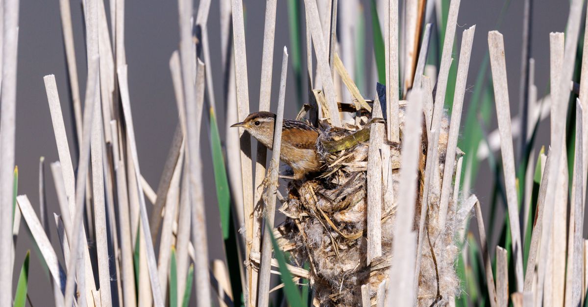
Ramsar designation recognises a wetland of international importance. It does not automatically mean the whole boundary is open to visitors, that boats may land anywhere or that camping and drones are permitted.
Marshes, peatlands, deltas, lagoons and shallow coasts are working landscapes and wildlife habitat. Visitor access is managed locally.
Start with the site record, finish locally
The Ramsar Sites Information Service provides boundaries, ecological character and designation information. Then find the national protected-area authority, reserve manager and current visitor rules. Boundary files can change and may include private land or strict zones.
Check seasonal bird closures, water levels, hunting or fishing periods, boat permits, pets, drones, cycling and opening hours. A boardwalk closed by flooding is closed even if a route app still shows it.
The path protects more than your shoes
Wet soil compacts and channels easily. A bypass around one muddy board can widen into a permanent scar. Turn back when the designated route is impassable rather than creating a dry-line shortcut.
Peat can conceal water-filled holes and may be fire-prone when dry. Never light fires or discard cigarettes. Do not probe nests, collect plants or move deadwood for a photograph.
Wildlife observation has a budget
Repeated flushing consumes energy and can separate adults from nests or young. If an animal changes posture, calls repeatedly or moves away because of you, increase distance. Long lenses do not justify leaving the hide.
Avoid publishing precise pins for nests, roosts or rare plants. A region-level note and the official visitor centre are often more responsible than coordinates.
Cleanups need ecological supervision
Litter among reeds or mud may look reachable while the route destroys habitat. Nets can contain animals; containers can hold chemicals; unexploded ordnance may occur in former military wetlands. Contact the manager and accept no-go zones.
Use a manager-approved cleanup listing with boardwalk and water boundaries. For accessible ordinary litter at a car park, map the separate cleanup need with seasonal access.
Do not remove natural material mistaken for rubbish. Survey leaders should brief the group on site-specific objects and invasive species.
Publish access that can survive attention
On mapped lakes, beaches and viewpoints, link to official visitor infrastructure and add dated reports. Avoid “hidden gem” language for sensitive wetlands. Describe the legitimate experience: a dawn hide, accessible boardwalk, guided boat or visitor-centre trail.
Support the local management system
Pay entrance or guide fees, use licensed boats and buy from local businesses that follow site rules. Report damaged boardwalks and disturbance privately to the manager before broadcasting them.
A wetland is not an empty landscape between land and water. Its boundaries shift, species respond to seasons, and access must be adaptive. The best visitor record helps people experience the place from the infrastructure designed to protect it.
Sources & further reading
- Ramsar Sites Information Service — Convention on Wetlands
- Destination wetlands — supporting sustainable tourism — Convention on Wetlands and UN Tourism
Access, prices and opening times change. Verify locally before you travel.
Tags
- wetlands
- Ramsar
- birdwatching
- responsible travel
Background reading
Links to reference material and organisations we don't control.
- ReferenceProtected areasWikipedia
- ReferenceNatura 2000Wikipedia
- OfficialThe Natura 2000 protected-area networkEuropean Commission
- OrganisationIUCN — protected-area categoriesIUCN