Pacific Northwest waterfall condition reports
Report seasonal flow, snow, forest roads, trail damage and crowding at Washington and Oregon waterfalls without unsafe access claims.
Recently verified — 2 August 2026
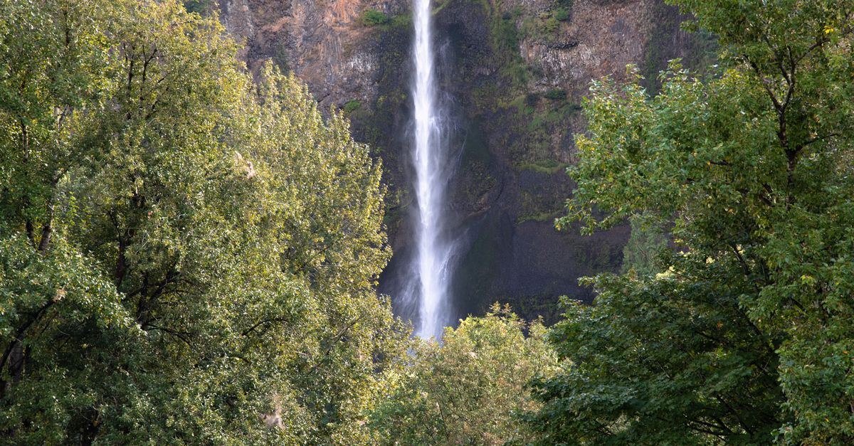
Pacific Northwest waterfalls change with rain, snowmelt, summer drought, wildfire closures and forest-road conditions. A dramatic spring photograph can mislead an August visitor; a road report from last fall may predate a washout or winter gate.
A good condition report names the national forest, park, state park or local manager and separates current observations from stable route facts.
Verify the forest road before the trail
Use the managing agency's alerts, road table and Motor Vehicle Use Map where relevant. Record the route number, junction used, surface, gate status and observation date. Do not claim a road is suitable for “any car”; describe potholes, washboarding, clearance points, turnaround and snow.
Navigation apps can route visitors onto closed or decommissioned roads. Link official directions and note where service ends.
Describe snow and crossings precisely
“Snow-free” should refer to the observed route, not surrounding peaks. State approximate continuous patches, traction used and whether route-finding was affected. Never encourage crossing a snow bridge or flooded creek because one party succeeded.
For unbridged water, report depth only if safely observed and measured by an official source. High, fast or opaque water is a turnaround condition, not a challenge rating.
Keep waterfall hazards outside the composition
Stay at railings and established viewpoints. Wet basalt, logs and moss can be extremely slippery. Do not climb above or behind falls, wade at the brink or stand on a log for a photograph.
If a barrier or bridge is damaged, leave and notify the ranger district with coordinates and photographs from a safe position.
Report flow as an observation
Use dry, trickle, low, moderate, high or flood-like with a dated photograph. Note recent weather as context but do not infer discharge. A nearby gauge can be linked only with station, timestamp and watershed relationship.
PNW atmospheric rivers, rapid warming and rain-on-snow events can change conditions quickly. Tell readers to recheck weather and alerts.
Describe crowding and parking without creating overflow
Record arrival time, legal lot occupancy and queue. Do not recommend roadside parking unless the manager identifies it. A full trailhead can block emergency and forest operations.
If the site is busy, photograph without identifiable faces and keep tripods out of the trail.
Add current evidence to Garbamons
Submit a dated waterfall and trail condition report with the official forest alert. Use fixed-view seasonal photographs rather than promoting one peak-flow image as normal.
For litter safely reachable from the trail, pack it out. For dumping or a repeated parking-area hotspot, map a cleanup need with forest-road access and estimated load. Any organized project should be approved through the land manager and event map.
Update the report rather than defending it
When a gate opens, bridge fails or fire closes the district, add a new dated condition. Leave the earlier record as historical evidence with a visible stale label.
The Pacific Northwest rewards recent, specific reporting. It punishes permanent-sounding claims about water, snow and roads.
Reconcile ranger and visitor observations
If the ranger district reports a road open but your visit finds a gate closed, record the gate, time and road number and notify the office. Do not accuse the agency or drive around it. The closure may be new, temporary or at a different jurisdiction boundary.
Likewise, a visitor report of “clear trail” may cover only the first viewpoint. State the turnaround point and do not inherit another person's claim. Linking both the official alert and the dated field observation lets readers see the difference without treating either as permanent.
Sources & further reading
- Gifford Pinchot recreation conditions — US Forest Service
- National Weather Service water safety — National Weather Service
Access, prices and opening times change. Verify locally before you travel.
Tags
- Pacific Northwest
- waterfalls
- trail conditions
- forest roads
Background reading
Links to reference material and organisations we don't control.
- ReferenceWaterfallWikipedia
- ReferenceHikingWikipedia
- VideoNational Geographic on YouTubeYouTube
- ReferenceThe Pacific NorthwestWikipedia