Vrachanski Balkan karst trails: a safer day above Vratsa
Plan a Vrachanski Balkan route around marked trails, limestone exposure, vehicle restrictions, weather changes and a firm return time.
Recently verified — 20 August 2026
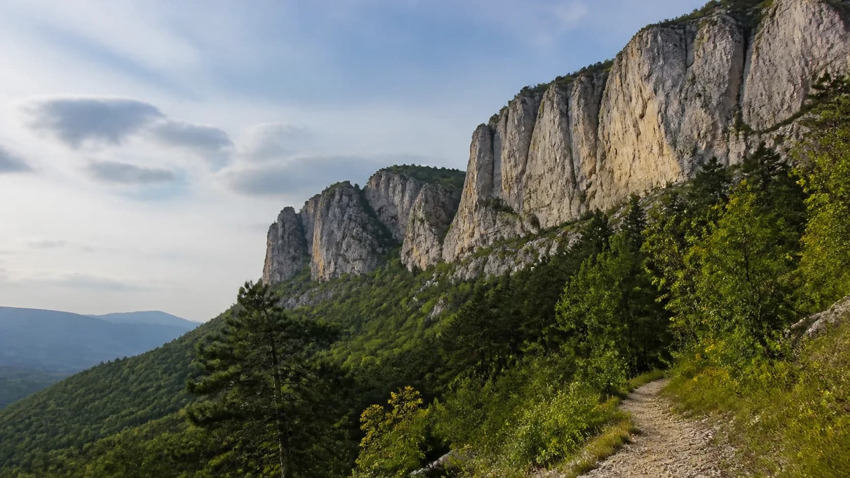
Vrachanski Balkan makes a good day from Vratsa, but the limestone is not forgiving when the route, weather or footwear is wrong. Choose a marked trail, check the park's current visitor information and treat the cliffs, caves and exposed slopes as a mountain environment rather than an urban viewpoint.
Match the route to the group
Begin with the route's real starting point, not the nearest named attraction. Confirm walking time, elevation, exposed sections, water, shade and the return line. Park lawfully and keep roads open for residents, forestry work and emergency vehicles. If the route crosses a protected or restricted zone, follow the posted boundary even when a climbing line or cave entrance is visible beyond it.
Karst routes can change character quickly. A forest path may reach loose limestone, a narrow ledge or a steep descent without much warning. Wear shoes with a reliable sole and carry a light layer, water, a headlamp and offline directions. A phone pin is useful for finding the trailhead, but it is not a substitute for route knowledge or a way out after dark.
Give cliffs and caves more distance
Stay behind barriers and use the established trail. Do not stand on an edge for a wider photograph, climb a rock face without the right route and equipment, or throw stones into a gorge. Loose rock can injure people below even when the throw looks harmless. If a route is wet, icy, windy or under repair, turn around instead of widening it.
An opening in limestone is not an invitation to enter. Caves can flood, contain unstable rock, deep drops, poor air or bats that need quiet. Technical equipment does not create permission. Join a qualified local group for actual caving and keep a normal day hike on the surface.
Do not publish precise locations of bat roosts, nests or unprotected archaeological features. A broad route note can help visitors prepare without turning a sensitive entrance into a target. If you find damaged signs, fresh rockfall or unsafe infrastructure, photograph it from the public route and contact the park directorate.
Respect the forest between the rocks
The rock formations are only part of the park. Stay on durable surfaces, keep dogs under control and do not collect plants, fossils or pieces of limestone. Avoid playback calls and loud group activity near forest edges. Carry all food waste out, including peels and tissues. A small safe wrapper can leave with you. Sharps, chemicals and heavy dumping should be reported, not handled on a casual hike.
Fire needs its own check. Do not infer permission from an old fire ring or a social photograph. On a hot, dry or windy day, plan cold food and leave no ember risk behind. If a closure, storm warning or fire notice changes the day, a lower walk in Vratsa is a good result, not a failed summit attempt.
Use Garbamons' mapped nature sights to record the date, route status, trail surface, signs and safe standing area. Keep the difference between an official notice and your own observation clear. A report that says "loose rock observed below the viewpoint on 20 August" is more useful than "safe for everyone."
Explore Vrachanski Balkan trailsSources & further reading
- Vrachanski Balkan Nature Park — Vrachanski Balkan Nature Park Directorate
- Restrictions on motor vehicle access in Vrachanski Balkan Nature Park — Vrachanski Balkan Nature Park Directorate
- Today we mark the Day of Parks in Bulgaria — Ministry of Environment and Water of Bulgaria
Access, prices and opening times change. Verify locally before you travel.
Tags
- Vrachanski Balkan
- karst
- Vratsa
- hiking safety
Beyond this page
Links to reference material and organisations we don't control.
- ReferenceRock formationsWikipedia
- ReferenceProtected areasWikipedia
- VideoPBS Terra — landscapes and climateYouTube