How to report lake-shore access conditions
Record launches, beaches, water levels, algal advisories, parking and shoreline impacts without making unsupported swimming or water-quality claims.
Recently verified — 2 August 2026
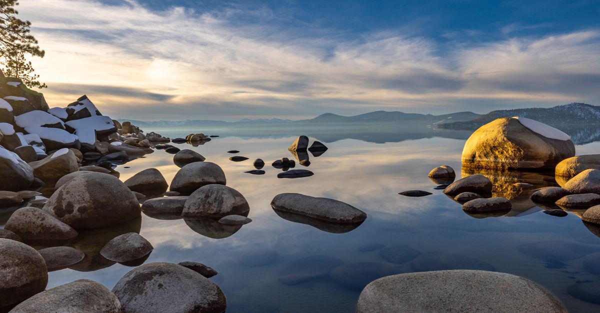
A lake condition report should help with access and planning without pretending a visual inspection is a water-quality test. Clear water can contain invisible hazards; green water is not automatically identified to species or toxin level by a photograph.
Use official health, park and weather notices for swimming and harmful algal bloom advisories. Describe only what you observed and when.
Identify the exact access
Large lakes have multiple beaches, ramps and trailheads. Record:
- official access name and manager;
- coordinates at the public entrance, not a sensitive habitat;
- date and local time;
- road, gate and parking status;
- launch type and apparent usability;
- accessible route, surface and facilities;
- swimming-zone status and lifeguard presence;
- toilets, potable water and waste service;
- official advisories and link.
Do not generalize one closed cove to the entire lake.
Report water level through fixed features
Use staff gauge readings where officially available. Otherwise describe observable effects: boat ramp ends above water, dock gangway steep, beach unusually narrow, or trail inundated. Photograph from the same public point.
Avoid estimating lake elevation or depth from a shoreline image. If linking a USGS gauge, include station, timestamp, unit and its relevance to that access.
Describe swimming conditions carefully
State whether the designated area was open, staffed and posted. Note waves, cold, floating debris and visibility without saying “safe to swim.” Conditions can change after observation, and unguarded water always requires judgment.
Do not encourage jumping from rocks, docks or structures. Never remove barriers or enter a closed launch.
Add shoreline-impact observations
Record social trails, bare soil, vegetation trampling, food waste, fishing line and overflowing bins. Leave natural driftwood and plants. Pick up only ordinary reachable litter and keep hooks in a rigid container.
If boats or vehicles are involved, record only the official launch and parking route. An eroded informal slope is not alternate access.
Separate stable amenities from today's status
A toilet building may exist but be closed for winter. A picnic table is stable; an algae advisory is dated. A launch is mapped; current water level determines usability. Write those fields separately so an older report remains interpretable.
Link the report to useful actions
Add a dated lake-access condition report with the agency alert. Link nearby legal camping places only after verifying seasonal operation and water access.
For line, litter or dumping beyond a safe pickup, map the shoreline cleanup need with carry distance. If the manager approves volunteers, publish a lake cleanup with water no-go zones and disposal.
Update and close stale claims
If a later visit finds the ramp reopened or advisory lifted, add a new dated record rather than editing away the old observation. Link the agency's current status page first.
The strongest lake report is modest: it names one access, one time and one source for every health or operational claim.
Record boating access without navigation advice
Describe ramp lanes, dock position, posted restrictions and whether the official operator marked the launch open. Do not estimate channel depth, recommend a route through submerged hazards or substitute a visitor report for a chart and local boating notice.
Photograph the ramp from shore without capturing registration numbers. If low water exposes mud, vegetation or artifacts, do not drive around the ramp or collect objects. Report a damaged dock, fuel sheen or abandoned vessel to the manager and keep the public condition note focused on access status.
Sources & further reading
- Harmful algal blooms — US Environmental Protection Agency
- National Weather Service water safety — National Weather Service
Access, prices and opening times change. Verify locally before you travel.
Tags
- lakes
- shoreline access
- condition reports
- water safety
Elsewhere on the web
Links to reference material and organisations we don't control.
- ReferenceLakeWikipedia
- ReferenceProtected areasWikipedia
- VideoPBS Terra — landscapes and climateYouTube